For most of the past decade, riding the hillside above Avon meant two maps. There was the official one, the ten trails that make up the West Avon Preserve, blessed by the town and reflected on Trailforks. And there was the map that lived only in the neighborhood's memory: the shortcut between Lee's Way and the ridge, the line a neighbor showed you years ago, the connector nobody named but everybody used. This summer, the town closed the second map. On purpose.
If you live in Wildridge and haven't been up to the preserve since early summer, the trailhead looks the same. What's underneath it does not.
A Preserve That Was Never Really Wild
It's worth remembering how this land came to belong to Wildridge in the first place, because it explains why the town felt entitled to redraw the lines this year. In 2013, the Town of Avon acquired 478 acres of land north of Interstate 70 between the neighborhoods of Wildridge and Singletree from the US Forest Service, and the land was placed in a conservation easement to permanently preserve and protect natural habitat, wildlife, and native plant species. A year later, Avon, along with several partner organizations, worked to form a network of trails that eventually earned International Mountain Bicycling Association Silver-Level Ride Center Designation, a rare credential the Vail Valley shares with the West Avon Preserve specifically.
None of that was casual. The West Avon Preserve is governed by the West Avon Preserve Management Plan, and is included in the Town's Recreational Trails Master Plan. The preserve behind Wildridge has always been a managed asset with a legal easement attached to it, not open land that happened to grow some singletrack. The trails that felt like discoveries were, from the beginning, someone's plan.
The Closures That Just Happened
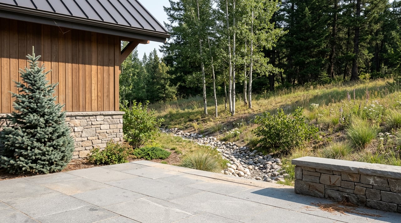
Over the last several weeks, that plan caught up with reality. The Town of Avon, in partnership with the Eagle Valley Land Trust and Vail Valley Mountain Trails Alliance, implemented the closure and decommissioning of several "social trails" within the West Avon Preserve, because over time these unauthorized paths had led to habitat fragmentation, soil erosion, and impacts to sensitive wildlife areas. Restoration efforts began June 29 and continued through the end of July.
"This work reflects our responsibility as stewards of the West Avon Preserve," said Michael Labagh, Town of Avon Recreation Director.
The decommissioning process included closing unauthorized trail alignments, restoring vegetation, and enhancing signage, and visitors to the preserve will see new signage identifying closed trails and encouraging use of designated routes. This wasn't a maintenance sweep. It was a correction, aimed at the informal paths riders and hikers had worn into the hillside over ten years of casual use, brought back in line with what the easement was written to protect.
For a rider who learned this network by following a neighbor rather than a map, the practical effect is real. The lines you used to lean on to skip a climb or shortcut a descent may no longer exist. What remains is the sanctioned system, and it's worth knowing it by name now:
| Trail | What It's Known For | Winter Access |
|---|---|---|
| Avon Singletree Connector (ASC) | Longest trail in the preserve at 2.2 miles, mellow climb | Closed Dec. 15–Apr. 15 |
| BLT Jump Line | Downhill warm-up with jump features | Closed Dec. 15–Apr. 15 |
| Wyse Way | Mellow connector climb toward the ridge | Closed Dec. 15–Apr. 15 |
| PB&J (Pumps, Berms and Jumps) | Big in-sloped corners, tight switchbacks, and views of Beaver Creek | Open year-round |
| Lee's Way Down | Most elevation descent in the preserve at 614 feet, the network's signature flow trail | Closed Dec. 15–Apr. 15 |
| Saddle Ridge | Most elevation gain in the preserve at 814 feet and the steepest average grade at 7.2 percent | Closed Dec. 15–Apr. 15 |
| Wild West Ridge | A 2-mile blue singletrack ridden primarily downhill | Closed Dec. 15–Apr. 15 |
| Our Backyard | A 1-mile loop with Wildridge views | Open year-round |
| Beaver Creek Point | One of the best sunset hikes in the Vail Valley | Foot traffic only in winter |
Only Our Backyard, PB&J, and Beaver Creek Point stay open through the winter closure, which runs from December 15 through at least April 15 to protect wildlife. The rest of the network, including this summer's most talked-about descent lines, is a warm-season proposition. If you're checking conditions before heading up, the region currently reads clear and dry on most segments.
The Park at the Center of It
The reshuffling of the trail map hasn't happened in isolation from the rest of the neighborhood's summer. O'Neal Spur Pocket Park, the trailhead located across from the intersection of Old Trail Road and O'Neal Spur, where you can access the PB&J bike trail, has quietly become the anchor of Wildridge's civic calendar as well as its riding calendar. The park has restroom facilities and is ADA accessible, and its water fountain, which was under construction earlier this year, was expected to be replaced by early summer.
That same park hosted one of this year's three valley-wide National Night Out gatherings. The 39th annual National Night Out event took place in Avon on Tuesday, August 4, 2026, marking the 20th year Avon has participated, and one of the three locations was O'Neal Spur Park in Wildridge, running from 6:00 to 8:00 p.m. A trailhead built to manage bikes and hikers spent one August evening managing block-party foot traffic instead, which says something about how central that unassuming pocket park has become to daily life up here.
Getting Down to the Village Got Easier, at Least for Now
Wildridge's relationship with public transit has always run on a seasonal switch. The dedicated Wildridge Weekend Shuttle, the one that carries residents straight to Beaver Creek Village, only exists in ski season. This year's version ran from Nov. 29, 2025, through April 12, 2026, on weekends, and it goes dark again once the lifts stop turning.
Summer fills that gap differently. Avon, in conjunction with CORE Transit, added new bus service from Avon Station to Beaver Creek running May 23 through September 13, with service every 20 minutes from 6:30 a.m. to 10:30 p.m. It isn't a Wildridge-specific pickup the way the winter shuttle is, so you're still driving or biking the mile or so down Metcalf Road to Avon Station first. But once you're there, the frequency this summer beats what most residents remember from past years, and it runs until mid-September, which covers the rest of this trail season.
What the Rewrite Actually Means
None of this changes what Wildridge is. The dog park, the pocket parks, the views of Beaver Creek and Bachelor Gulch from the ridge, all of that is unchanged. What's changed is the fiction that the trail system up here was ever informal. It wasn't, legally, since 2013. It just took until this summer for the management plan to catch up with a decade of shortcuts, and for the town to spend a month restoring the difference between the map that was drawn and the map that was worn.
If you ride or hike the preserve regularly, the practical takeaway is simple: learn the nine named routes on the current map, respect the new signage where old lines used to run, and treat Our Backyard, PB&J, and Beaver Creek Point as your reliable winter options when the rest of the system closes again this December. The neighborhood's backyard is still yours to use. It's just a little more clearly drawn than it used to be.
For questions about property or the market in Wildridge and the surrounding Vail Valley, Griffin & Gardner is always glad to talk. Let's Connect.