By Barbara Gardner
Vail’s reputation rests on its lifts, yet plenty of skiers earn their turns on skins, and plenty of others explore the valley on snowshoes. Resort routes, a national forest recreation area, and long-established snowshoe routes all sit within a short drive of town. I help clients weigh how that kind of access fits into a home search around Vail.
The five sections below gather the published details I reviewed, along with notes on what to confirm before you go.
Key Takeaways
- Resort uphill: An early-season Vail Daily article reports that uphill travel at Vail is not permitted between 9 a.m. and 3:30 p.m.
- Vail Pass fee: The 10th Mountain Division Hut Association lists a Forest Service fee of $10 per adult, with children 15 and under free.
- Snowshoe routes: A 2013 Antlers at Vail guide lists a 4.16-mile Old Vail Pass route and a 6.45-mile Meadow Grouse Loop.
- Forecasts: The Colorado Avalanche Information Center’s Vail Summit zone covers Vail Pass and the Gore Range.
Vail Mountain Uphill Routes From Golden Peak and Lionshead
An early-season Vail Daily article describes a skin track from the Golden Peak base area that followed the Tourist Trap and Riva runs, just over 2 miles and about 2,400 vertical feet. The same article says uphill travel at Vail was limited to Simba, reached from Lionshead, at that point in the season.
Route and Etiquette Details
- Hours restriction: The article says uphill travel at Vail is not permitted between 9 a.m. and 3:30 p.m.
- Dog rules: Dogs are not allowed during daytime operations, and the article says to keep them leashed at night.
- Machinery: Snowcats, winch cats, and snowmaking equipment operate day and night, so avoid areas where machinery is working.
The article is undated, so check vail.com for the current uphill policy before you go. A similar route at Beaver Creek climbs toward Larkspur Bowl or Centennial, about 2,600 feet over 2 or 3 miles, according to the same piece.
Vail Pass Winter Recreation Area Off Exit 190
Vail Pass sits off Exit 190, about 10 miles east of East Vail, at 10,662 feet, according to a 2017 Vail Magazine article. The article describes the north side of the pass as reserved for nonmotorized use, while the south side mixes motorized zones with human-powered ones.
Fees and Parking Notes
- Recreation fee: The 10th Mountain Division Hut Association lists $10 per adult, with children 15 and under free.
- Lot fees: The same page says there are no parking fees at hut trailheads.
- Nonmotorized lot: A winter 2024-2025 notice described a signed lot about 1/3 mile past Exit 190 at the Vail Pass Rest Area.
The 2017 article listed a $6 day-use fee, so fees have changed over time and are worth confirming with the Forest Service. Lot arrangements were described for winter 2024-2025 only, so check for current-season updates.
Old Vail Pass Snowshoe Route From East Vail
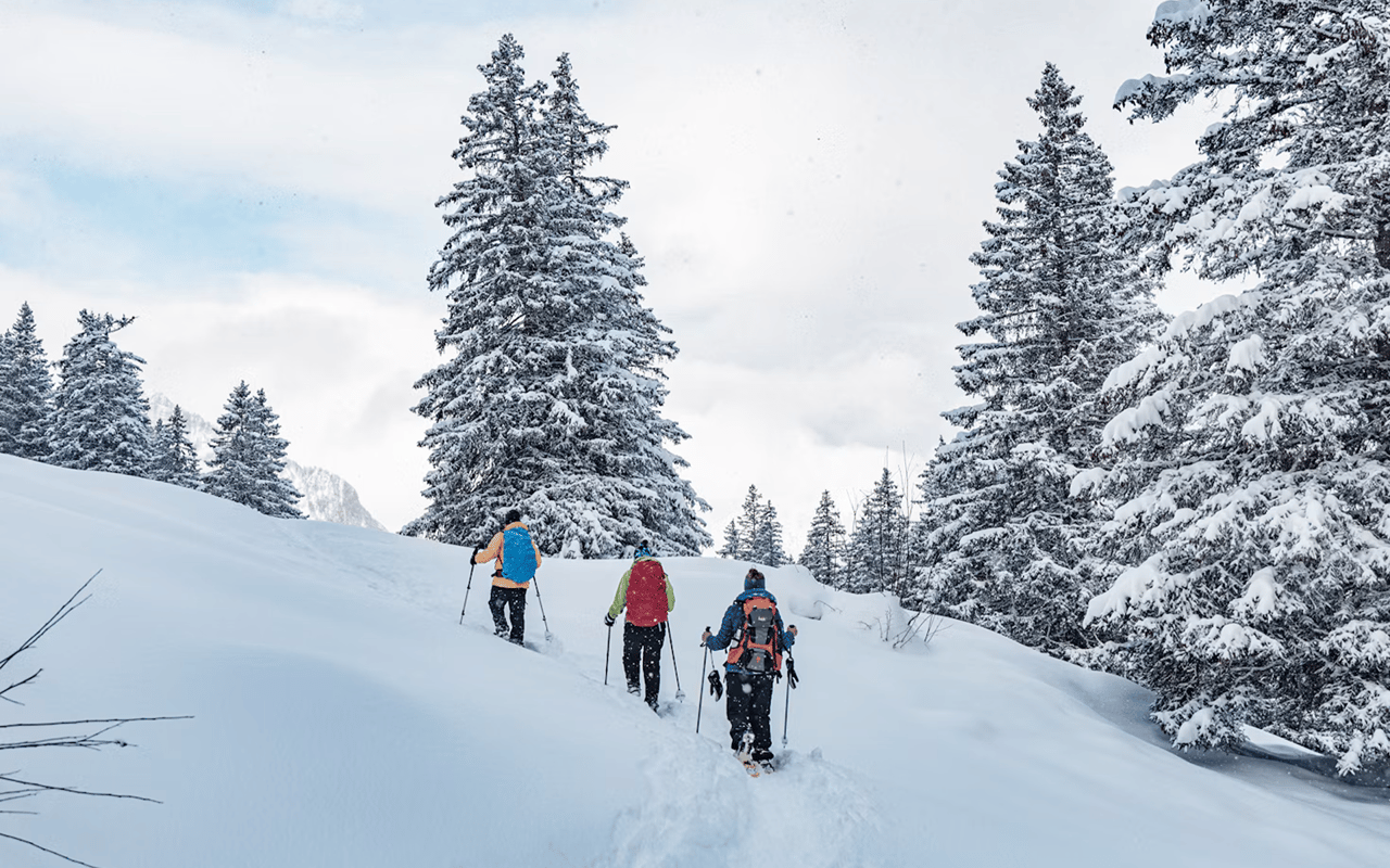
A 2013 guide from the Antlers at Vail lists the Old Vail Pass route from East Vail as 4.16 miles one way, rated easy, with 1,015 feet of elevation gain. It describes the trailhead as the end of the plowed South Frontage Road, 1.9 miles east of Exit 180.
Route Notes
- Trailhead access: The guide says to snowshoe 0.4 miles toward the bike path gate from the end of the plowed road.
- Snow conditions: The guide warns that snow may be thin during early winter and spring.
- Trail use: It lists use as light to moderate.
The guide is more than a decade old, so confirm access and conditions before you head out. A one-way route of this length suits an out-and-back or an earlier turnaround, depending on your pace.
Meadow Grouse Loop in Minturn
The same 2013 guide lists the Meadow Grouse Loop in Minturn as a 6.45-mile loop rated moderate. It starts from a Forest Service parking lot reached from Exit 171 onto Highway 24.
Loop Details
- Trailhead: The trail starts at the south end of the parking lot near a white house, per the 2013 guide.
- Difficulty: The guide rates the loop moderate, with moderate use.
- Distance: The loop measures 6.45 miles, or about 10.4 kilometers.
Landmarks from 2013, such as the white house near the lot, may have changed, so rely on a current map. Minturn sits west of Vail, which gives snowshoers a second area to consider.
Avalanche Forecasts for the Vail Summit Zone
The Colorado Avalanche Information Center names its zone for this area Vail Summit, running from Vail and Highway 24 east to Loveland Pass, across the Gore Range, and south to Hoosier Pass. Listed areas include Vail Pass and Vail Chutes.
Zone Information Worth Knowing
- Zone boundaries: The center says boundaries are not rigid, so check both forecasts near a boundary.
- Forecast menus: Its site lists zone weather forecasts, model forecasts, point forecasts, and watches and warnings.
- Group preparation: An early-season Vail Daily piece stresses avalanche training for the whole group and well-prepared partners.
I am not an avalanche professional, so treat my summary as a pointer to the official forecast. Confirm the current zone map, since the page’s map image carries a 2013 label.
FAQs
What are the best trails to skin, snowshoe in Vail for a first outing?
Published sources describe the 4.16-mile Old Vail Pass route from East Vail as easy, with 1,015 feet of gain. Resort uphill routes carry time restrictions, so read the current policy first. Confirm conditions on any route before you go.
Do I need a pass to recreate on Vail Pass?
The 10th Mountain Division Hut Association lists a $10 Forest Service fee per adult, with children 15 and under free. The fee is for recreating on the land rather than for parking. Confirm the current fee with the Forest Service.
Where do I find avalanche forecasts for Vail?
The Colorado Avalanche Information Center publishes a Vail Summit zone forecast covering Vail Pass and the Gore Range. Check both neighboring forecasts if you travel near a zone boundary. Read the forecast before every outing.
Contact Barbara Gardner Today
Call me, Barbara Gardner, to talk about Vail neighborhoods that put the trailheads, passes, and snow you want within easy reach.